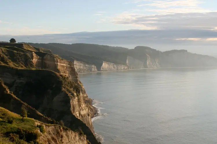
 Hawke’s Bay’s mix of coastline, rivers, and the Ruahine and Kaweka ranges inland gives schools a reasonably broad choice of land and water-based programmes, generally under one of the sunnier, more settled climates in the country.
What Hawke’s Bay Suits
Tramping and bush walks are well served by the Ruahine and Kaweka ranges to the west, offering genuine forested and alpine terrain within reach of Napier and Hastings: see our Tramping and Bush Walks guide, with the Ruahines in particular able to support more demanding multi-day expeditions for senior students.
Water activities work well on the region’s rivers (the Tukituki and Ngaruroro among them) for calm-reach kayaking and canoeing, though river conditions vary a good deal with recent rainfall and need checking on the day rather than assumed from general regional reputation.
Horse riding has strong representation given the region’s rural, pastoral character, and rock climbing is reasonably served through indoor venues in Napier and Hastings alongside some outdoor options.
Seasonality and Weather
Hawke’s Bay is one of the sunnier and drier regions in New Zealand, which makes it a comparatively reliable choice across a longer season than many parts of the country, but that same dry character means river levels and ground conditions can vary sharply after summer dry spells versus winter rain, so check current conditions rather than relying on seasonal norms alone. Summer through autumn (December–April) is generally the most settled window for both tramping and water activities, and the region’s exposure to occasional ex-tropical cyclone remnants in early autumn (as with the wider East Coast) is worth building contingency for.
Getting There
Napier and Hastings both serve as practical bases, with the Ruahine and Kaweka ranges typically under an hour’s drive from either, and most river and coastal access points similarly close.
Local Considerations
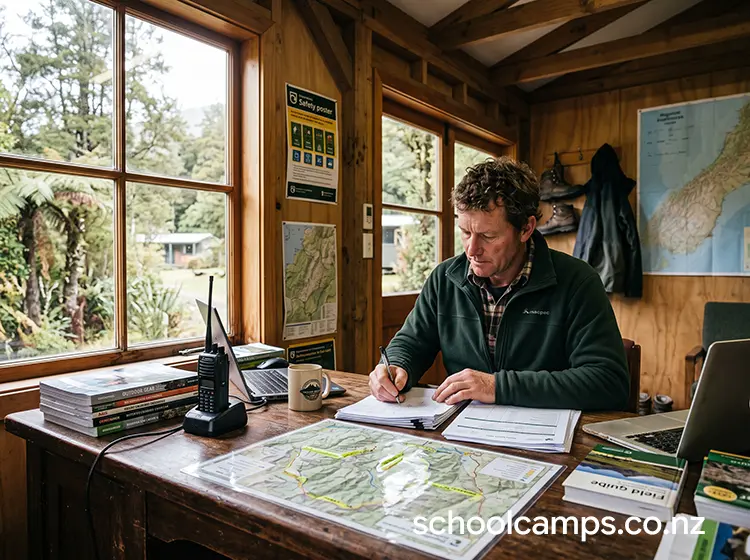
Hawke’s Bay’s exposure to significant weather events (Cyclone Gabrielle in 2023 caused major regional flooding and access disruption) is a reminder to check current track, river and road conditions specifically before finalising any itinerary here, rather than assuming access matches pre-event maps or older trip reports. See Land and Bush Safety Foundations for baseline route-planning principles that apply directly to this kind of check.
Find a Provider in Hawke’s Bay
Browse camps, venues and activity providers currently listed for the region: All Places in Hawke’s Bay.
Leave a Reply
You must be logged in to post a comment.